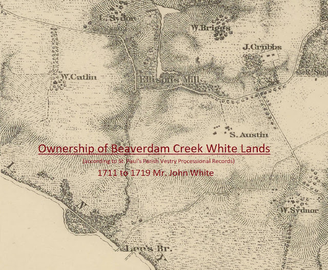
Mr. John White's Beaverdam Creek Land 1711 to 1784

In an earlier post , we found that Mr. John White owned two pieces of land, 320 and 190 acres, according to the 1704 New Kent County Quit Rent roll. And yet, there is no known record of how he obtained these properties. The first known record of Mr. John White obtaining land was a 1705 land patent for 211 acres in New Kent County, on the east side of Beaverdam Creek. It is probable that these 211 acres were across the creek from one of his other tracts (320 or 190 acres) that included the White Mill. The only known existing records to track the ownership of Mr. John White's properties at Beaverdam Creek are the precinct processions of the St. Paul's Parish Vestry Record . Although the precinct numbers changed over time, the surrounding land owners of Mr. John White's Beaverdam property stayed the same, allowing us to follow ownership changes . Below is a visual chronology of the procession years and the responsible parties for the Beaverdam...